WAML Pre-Conference Workshop: OpenIndexMaps
Index Maps
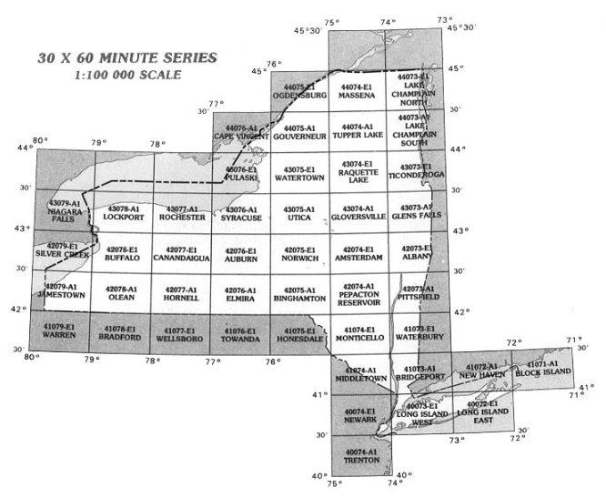
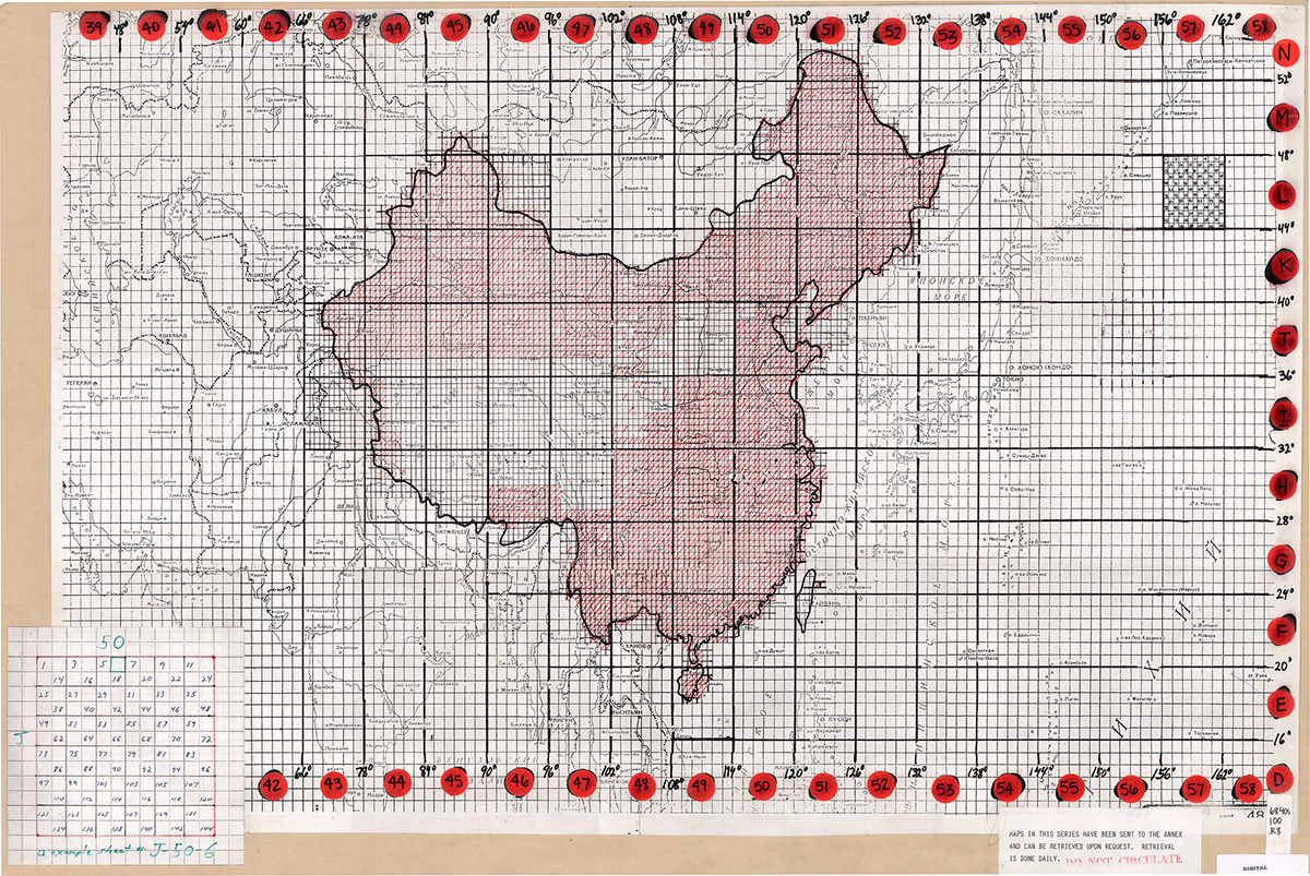
An index map provides a map-based guide to finding individual maps or images in a series based upon their location. They can be grid-like, with each rectangle representing a separate topographic map in a series, for example:
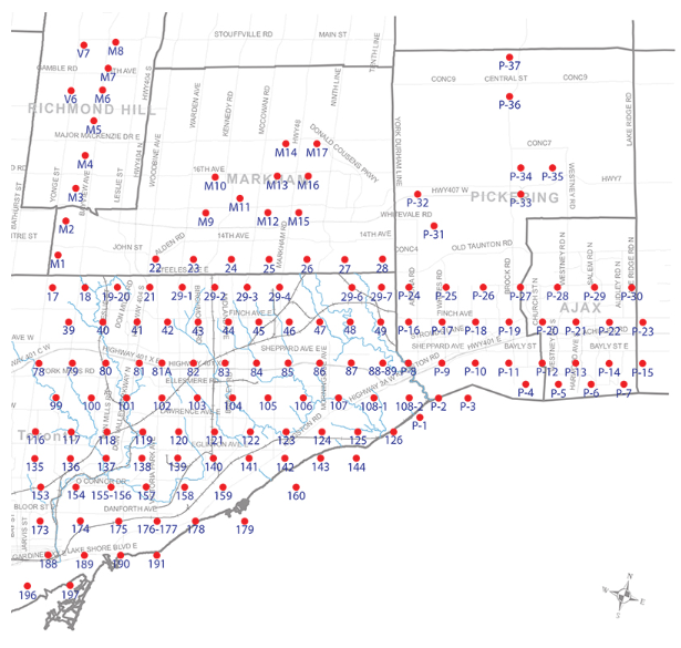
Or they can be point-based, with each point in the index referring to the approximate center of an aerial photo within a flight:
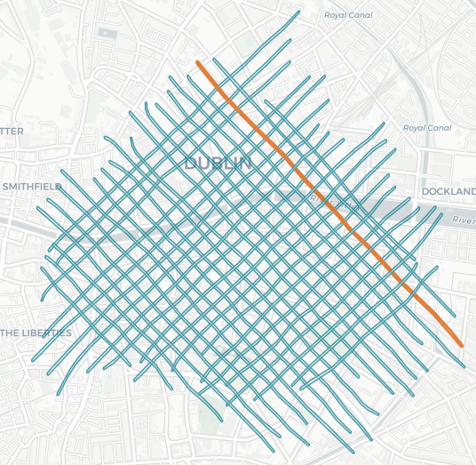
Or they can even be lines, each representing a LiDAR collection flight line:
Paper index maps in map drawers are not always readable, so creating a GIS version can not only provide an online finding aid, but can more clearly show which maps cover which geographic region.
Here is an article that goes into more detail about creating GIS index maps.
Digital Index Maps: Leveraging GIS to Create Metadata for Online Map Collections
Next: OpenIndexMaps